

Nile River Facts
- The deceptively short term of Nile River serves as the only commonly used name for this breathtaking creation of Nature today. It’s become known by this moniker throughout the world, and needs no other title to define it. That wasn’t always the case, however.
- In the distant past, this stunning marvel of geology held numerous other designations. These alternate terms, though, merely represented its appellation in different tongues and periods of time. The ancient Egyptians called the amazing flow Iteru, while the Greeks named it Neilos.
- Archaeological evidence also indicates that ancient humans knew of this wonder beginning in the earliest portions of the Stone Age. Related discoveries further indicate that the earliest organized fixed settlements along its length originated in approximately 6,000 BCE.
- In comparatively modern times, the search for its source became something of a fixation for a large majority of European explorers. The earliest known searches for this location began in the 14th century. Even today, though, its actual source remains a source of moderate debate.
- This majestic flow additionally stands out for obvious reasons in the minds of many. Yet, it’s also simultaneously the source of confusion. Historically, it’s typically been considered the longest river on earth. Some experts, however, contend that title belongs to the Amazon.
- The Nile River represents an irreplaceable natural feature that needs our protection. Historians teach us that it served as the cradle of civilization its area, so has much historical significance. Accordingly, several UNESCO World Heritage Sites now lie located along its length.
Related Articles
Nile River Physical Description
The phenomenal Nile River never fails to captivate those countless individuals fortunate enough to visit this astonishing formation of geological processes. That’s perhaps due to the fact that it boasts an incredibly impressive combination of attributes seemingly designed to amaze the visitor.
The sheer size of this mighty flow dominates any discussion of dimensions, though. Measurements of its length vary, of course, given the above-mentioned debate over its exact starting point. Yet, even the most conservative of these placements put this at a mind-boggling 4,130 mi (6,650 km)!
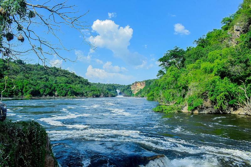
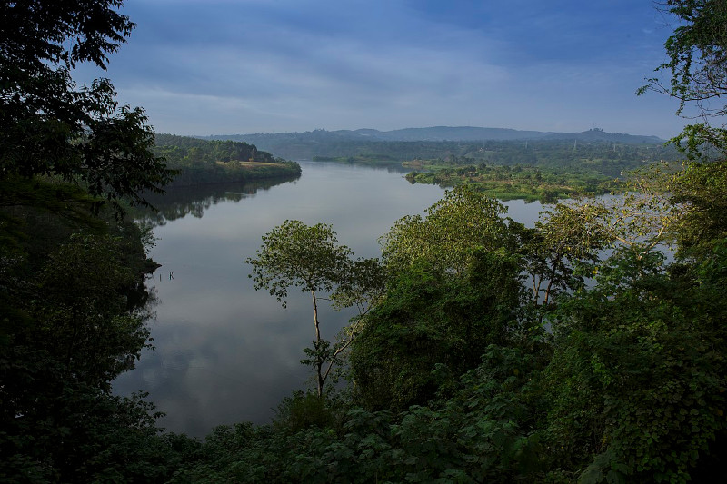
Geographically, the river’s roughly divided by science into three relatively distinct sections. The Upper section contains such individually impressive features as Lake Victoria, Lake Albert. This section also holds still another product of natural geological formation known as the Sudd swamps.
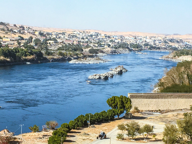
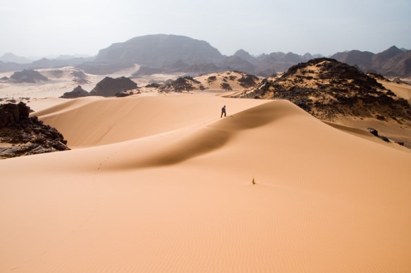
Meanwhile, the portion named the Middle Nile contains such wonders as the aptly-named Cataracts of the Nile. These features comprise a series of six major rapids or waterfalls. Yet, this intermediate section also plays host to a confluence with the Atbara River, and the large desert regions.
Eventually, however, comes the portion of the river appropriately named the Lower Nile. This section contains the famous feature bearing the epithet of the Nile Delta. This structure represents one of the largest such in the entire world. It contains an astounding 150 mi (240 km) of coastline.
The Nile River further boasts an astonishingly wide range of other extraordinary characteristics. At its widest point, the marvel measures an incredible 1.7 mi (2.8 km) across. Despite this fact, however, it remains surprisingly shallow. Its average depth only ranges from 26 – 36 ft (8 – 11 m).
Nile River Location, Formation, and Ecology
The startling Nile River formed in a region of the globe already well known for its remarkable abundance of natural wonders. Given its fame and history, however, it’s likely most of you already know this location. Nature created this marvel as part of the beautiful continent of Africa.
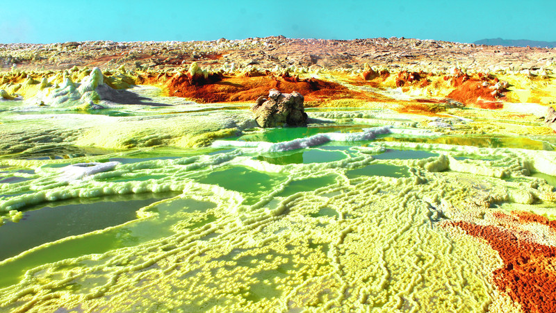
More precisely, though, it mainly flows through the northeastern section of the greater landmass. Along its route, the flow passes through an amazing total of 11 countries. These include Burundi, Rwanda, Tanzania, Uganda, Congo, South Sudan, Ethiopia, Sudan, Eritrea, Kenya, and Egypt.
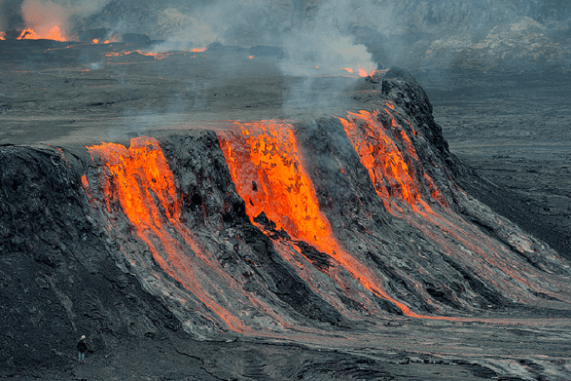
The full story of its formation stretches back many millions of years. The East African Rift System was key in this. The rifting process itself apparently began around 30 million years ago. That action created a series of valleys, lakes, and highlands that influenced the flow of rivers in the region.
Volcanic eruptions in the Ethiopian Highlands and surrounding areas also contributed to the topography. These powerful and devastating events did so by creating elevated regions that eventually became the source of tributaries of the remarkable flow of water as we know it today.
Science knows of two main tributaries, the White Nile and the Blue Nile. The formation of Lake Victoria, roughly 400,000 years ago, played a key role in the development of the White Nile. The stunning lake’s a result of many tectonic movements and changes in the local drainage system.
However, the uplift of the Ethiopian Highlands, due to tectonic activity, created the conditions for the formation of the body of water known as Lake Tana. The lake, itself an amazing feature, which also serves as the source of the Blue Nile, formed from volcanic and erosional processes.
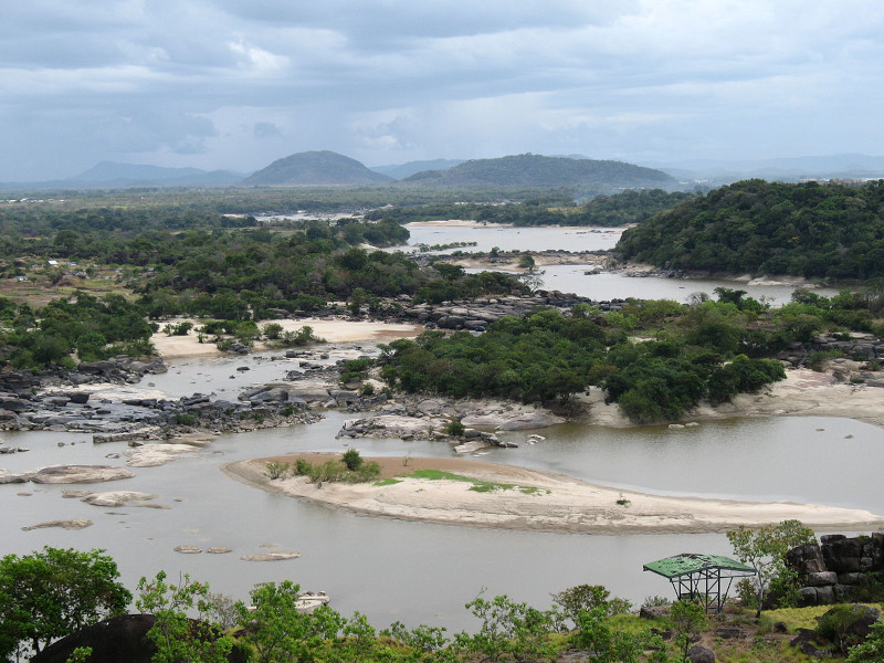
The ancient process doesn’t simply end there, though. The two source rivers eventually converge at the approximate location of the ancient city of Khartoum, Sudan. This confluence represents a result of the gradual integration of the drainage systems of the two tributaries over geological time.
Given the vast amounts of water it provides, the Nile River understandably supports a rich and highly diverse ecology that’s vital to the countries it flows through. The river’s ecosystem includes a wide range of habitats. Each of these often supports clearly distinct species of flora and fauna.
Riverine forests appear in a great many places. These settings host papyrus, reeds, and trees and shrubs adapted to wet conditions. Regions of wetlands also dominate certain areas, serving as home to some species. The Nile Delta remains a vast area of marshes, lagoons, and channels
Many species of both flora and fauna also depend on its waters for their continued survival. Vegetation common to some areas includes papyrus, reeds, and various trees and shrubs adapted to wet conditions. Grasses also thrive in the wetlands and marshes in found some local regions.
Over 100 recognized types of fish additionally live within the waters of the breathtaking Nile River itself. These amazing creatures include species such as the Nile perch, tilapia, and catfish. Numerous avian species thrive here too, including herons, egrets, ibises, pelicans, and waterfowl.
Hippos and Nile crocodiles remain among the most immediately notable large mammals in the river. Other mammals present also include otters and various species of bats and rodents. The river also supports numerous types of invertebrates, including insects, mollusks, and crustaceans.
Features Sharing Its Region
Check out our other articles on 4 Fascinating United States Fungi, Rough-toothed Dolphin, Millaa Millaa Falls, Oceanic whitetip shark, Powder Blue Damselfly, 5 Geological Wonders of Australia