

Paunsaugunt Plateau Facts
- The stunning Paunsaugunt Plateau forms what geologists call a dissected plateau. This marvel of geology sits in southwestern Utah, in the United States.
- Its average annual snowfall of roughly 200 in (5.1 m) per year easily ranks as among the highest of any location in the country.
- The somewhat difficult to pronounce name derives from the language of the Paiute, a local Native American tribe. It translates as home of the beavers.
- It now serves as an extremely popular tourist site in the region, along with the many other natural wonders of this part of the world.
Paunsaugunt Plateau Geology and Formation
The truly gorgeous location of the stunning Paunsaugunt Plateau extends southward from yet another plateau, named the Sevier Plateau.
The plateau itself measures roughly 25 mi (49 km) in overall length. It also has an astonishing average width of about 10 mi (16 km).
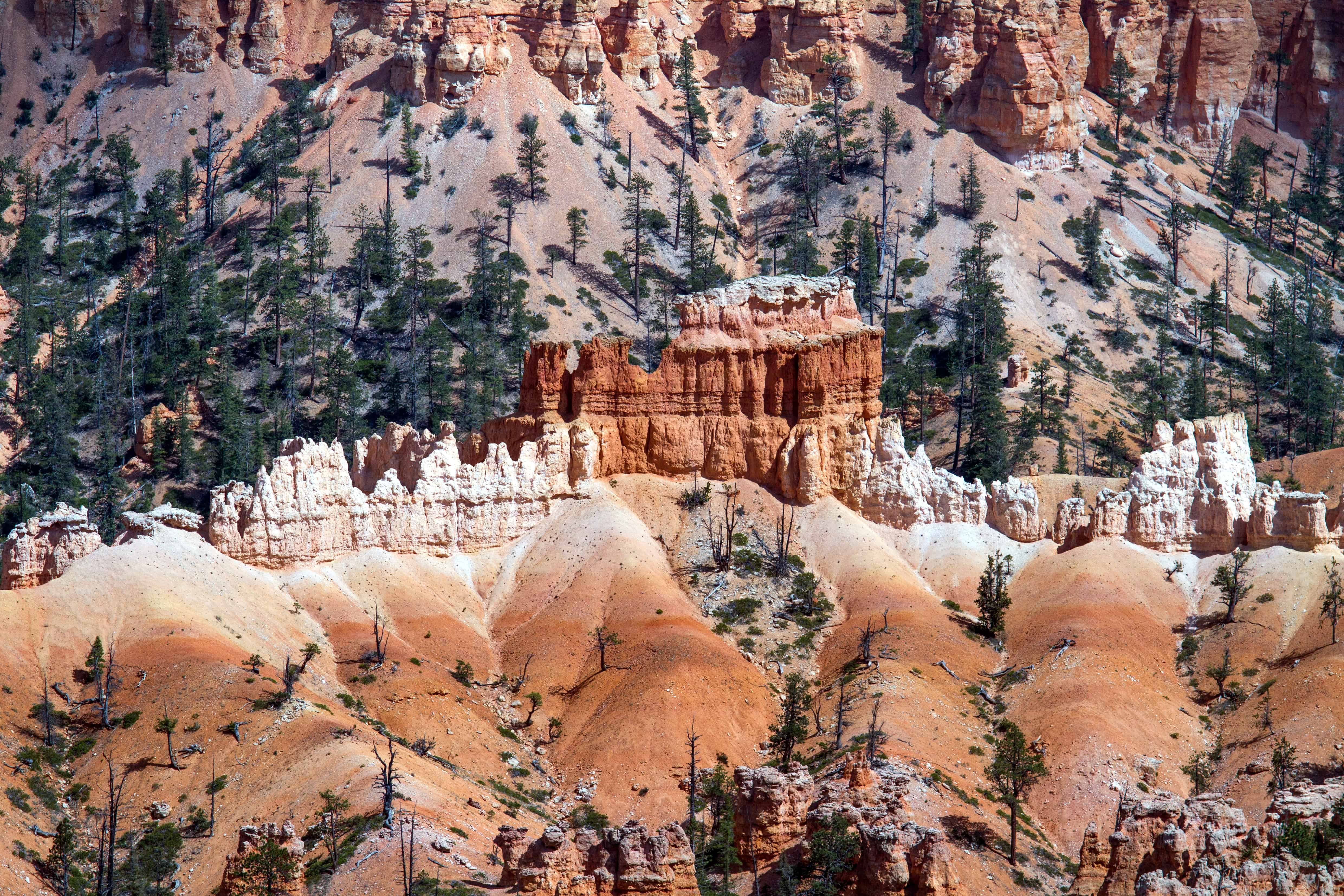
Its elevation varies, ranging between 7,000-9,300 ft (2,100-2,800 m) in height. At the terminus of the southern end, it ends in a fabulous feature known as the Pink Cliffs.
Paunsaugunt Plateau also forms part of the Dixie National Forest. This itself serves as a part of the Bryce Canyon National Park.
Paunsaugunt Plateau Location and Nature
The absolutely gorgeous Paunsaugunt Plateau also formed in what now constitutes the state of Utah, in the southwest portion of the United States, in North America.
The magnificent site also contains the East Fork Sevier River. This river flows northward along the plateau, which itself remains extremely dissected on its eastern side.
This section is drained by the Paria River, into the larger Colorado River.
Due to its elevation, the Paunsaugunt Plateau also receives rather copious amounts of snowfall in the winter.
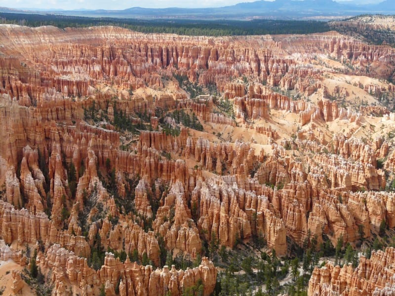
The plateau formed between 10-20 million years ago, due to an uplift of the larger Colorado Plateau. This uplift motion created joints on its sides.
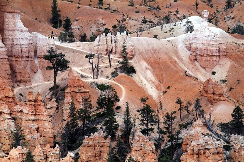
Erosive forces subsequently converted these joints into numerous unique rock formations known as hoodoos.

Check out our other articles on Kasha Katuwe Tent Rocks, Wadi Rum, Spooky Gulch