

The Petrified Forest lies located inside a National Park bearing the same name, in the United States, in North America. Specifically, it sits within the dual boundaries of the Native American Apache and Navajo counties in the state of Arizona.
The Petrified Forest comprises the petrified remains of countless trees dating back many millions of years. The Petrified Forest National Park also now encompasses the full extent of the remains of the ancient forest.
The total area measures roughly 146 sq mi (380 sq km). The area possesses an extremely arid climate, which aids in preserving the extent of this unique geological marvel.
Petrified Forest Geology
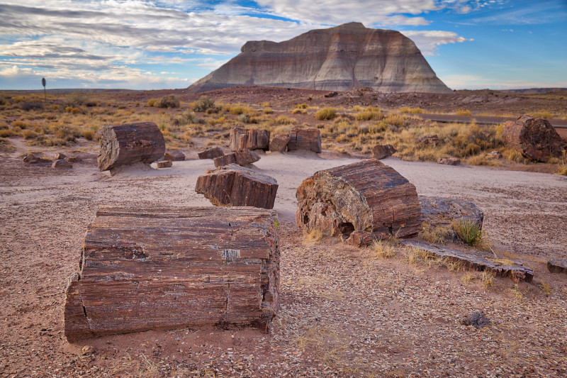
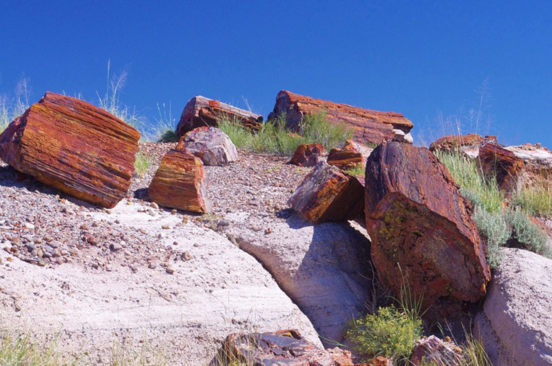
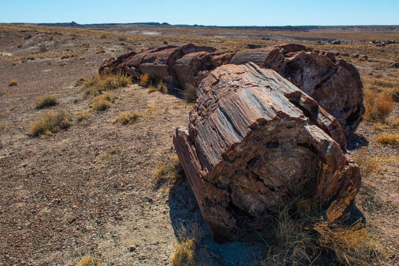
The Petrified Forest remains renowned for the enormous number of plant fossils found within its boundaries. Though the remains of smaller plants appear as well, the vast majority of its fossils consist of fallen trees.
The original forest thrived during the Late Triassic period, which occurred about 225 million years ago. At this time, the region contained many large streams.
These deposited vast amounts of organic matter, along with mud and silt. Many of these found themselves buried so rapidly that they did not have time to decay, and subsequently became fossilized by the deposited sediments.
Petrified Forest Geographical Description
The Petrified Forest straddles the border between the Navajo and Apache counties. The elevation of the region varies, therefore some portions remain as much as 6,230 ft (1,900 m) above sea level, while others reach as low as 5,340 ft (1,630 m).
The region contains a variety of terrains, with the southern section being primarily comprised of small, gently sloping hills. Yet the northern sections principally consist of eroded badlands.
Many small streams exist within the area, and some of these flow into the Puerco River. Others eventually flow into the Little Colorado River.
Related Articles: Arizona Meteor Crater, Thors Well, Gibraltar Rock