Christmas Island Facts
- The highly charismatic name of Christmas Island serves as the most frequently used common name for this true wonder of natural processes. Yet, it also holds a few other titles by which it’s known. These include Island of the Red Crabs, Pulau Natal, and even Flying Fish Cove.
- Much like many other such formations found across the world, this wonder possesses a somewhat storied history. For the moment, however, it remains undetermined by either modern historians or archaeologists if ancient humans ever used or even knew of the location.
- The first recorded sighting of the island, though, occurred in the year 1615. At that time, Richard Rowe of the ship Thomas reported spotting the site. However, Captain William Mynors later named the island in honor of the day that he first encountered it, Christmas Day, 1643.
- Fortunately for history, the unique combination of its relative isolation and an apparently minimal human interference benefited its local ecology immensely. Due to these factors, much of its native flora and fauna, some of it entirely unique to the island, still remains intact.
- Great efforts have been taken by both groups and organizations to preserve these endemic species. That same effort continues to this day, as well. These efforts have been largely successful, despite a history of phosphate mining on an isolated section of Christmas Island.
- In fact, a total of 63% of the stunning island presently comprises the aptly-named Christmas Island National Park. This provides a certain measure of protection from the depredations of man. Nonetheless, it behooves us to be highly vigilant in our efforts to preserve the site.
Related Articles
Christmas Island Physical Description
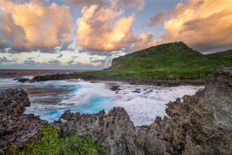
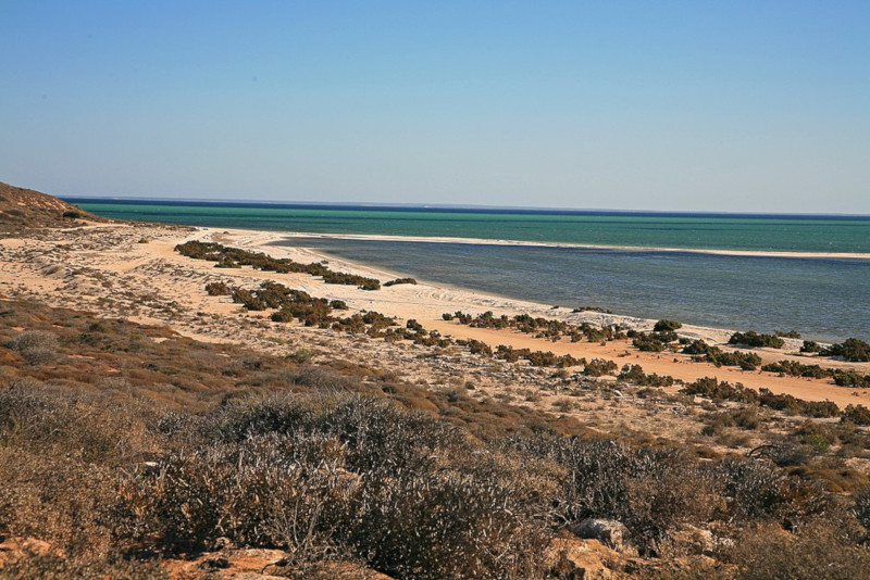
Regardless of its unquestioned visual distinctiveness, Christmas Island nevertheless is a physically small location. The highly irregularly shaped island only possesses a total area of roughly 52 sq mi (135 sq km). Its unique shape covers an impressive total of 86.3 mi (138.9 km) of coastline.
Astoundingly, the entire island actually comprises the roughly flat summit of an undersea volcano. The total height of this huge mountain equals about 14,800 ft (4,500 m). But the highest measured point on this marvel of geology itself only reaches approximately 1,184 ft (361 m) above sea level.
Given that the beautiful site originally formed as a volcano, areas of basalt still lie exposed in places. The majority of the surface rock, though, actually consists of limestone. This surface area itself actually represents an enormous accumulation of coral due to extreme long-term growth.
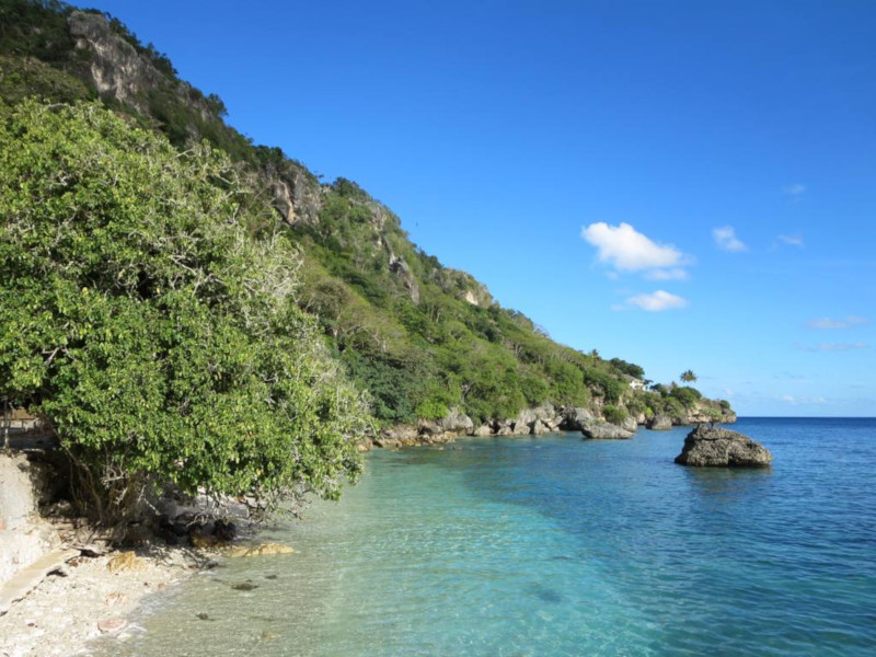
Extremely steep cliffs also line much of the coastline of Christmas Island. These formations, in turn, give way to a largely central plateau. Outward, a narrow, but nevertheless quite dangerous coral reef surrounds virtually the entire island. This natural feature often poses a severe hazard to ships.
Christmas Island Location, Climate, Flora, and Fauna
This mind-boggling beauty named Christmas Island formed in a region of the surface of the earth that surprises many people. The precise location of that creation actually places it in comparative proximity to an equally remarkable larger landmass. That’s the amazing continent of Australia.
More precisely, though, this product of long-term natural actions lies situated roughly 960 mi (1,550 km) northwest of the closest point of the mainland of the above-mentioned mainland. That setting places it inside the Indian Ocean, roughly about 220 mi (350 km) south of Sumatra and Java.
Because it formed in close proximity to the southern edge of the equatorial region, this island quite understandably boasts a predominantly tropical climate. As a direct result of this intriguing fact, the temperature on the island rarely varies more than a few degrees throughout the entire year.
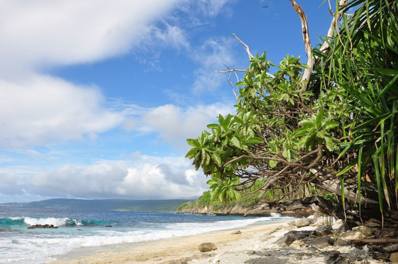
Typically, this ranges from somewhere between 73 – 84 F (23 – 29 C). But the local wet season often brings torrential monsoon rains. Much of the island also boasts a rather dense covering of tropical rainforest. A total of 25 species of tree dominate much of this, with a smattering of other species.
Numerous types of flora, mainly including ferns, vines, and dazzling orchids also bloom in the area. Of the currently 135 identified plant species, 18 appear nowhere else on earth. The site also serves as home to an equally wide variety of fauna. This includes various types of bats, rats, and shrews.
Some of these forms of life seem to live nowhere else on earth. Sadly, a few of these have not been seen in many years, and may already be completely extinct. The most prevalent fauna of Christmas Island consists of the various seabirds and crabs, including the truly impressive Coconut Crab.
Features Sharing Its Region
Check out our other articles on 5 Perfectly Pleasing Primates, Dragon Moray Eel, Rhine Falls, Plumed midge-orchid, Mongolian Wild Horse, Limnonectes larvaepartus, Sapphire Tower

Leave a Reply